15s
Take Off

8K 10x
Optical Zoom

IP43
Weather Rating

Hot-Swappable Batteries

Navigation In GPS Denied Environments

12.4 miles Transmission Range

42 mins
Max. Flight Time

720°
Obstacle Avoidance
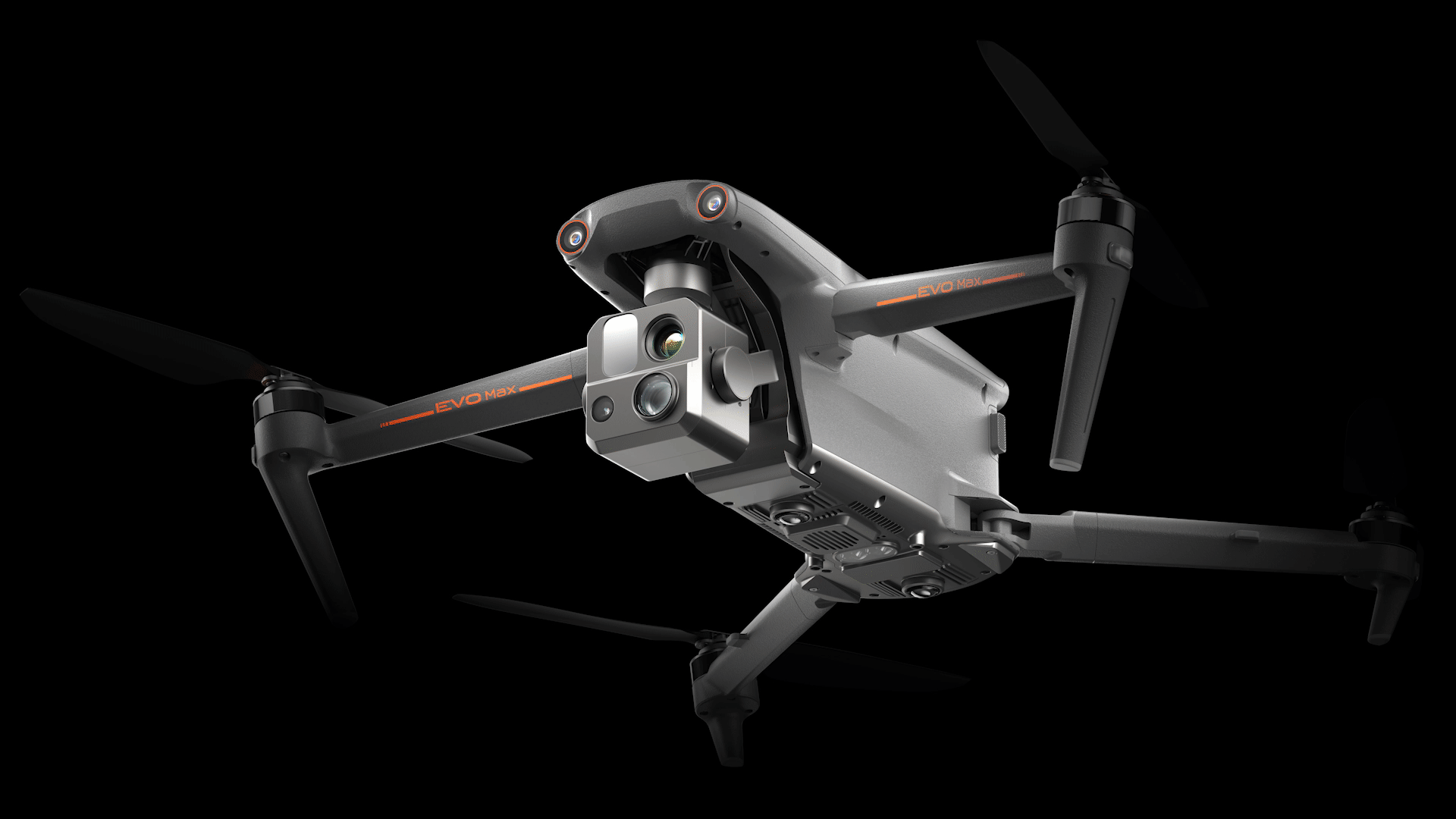
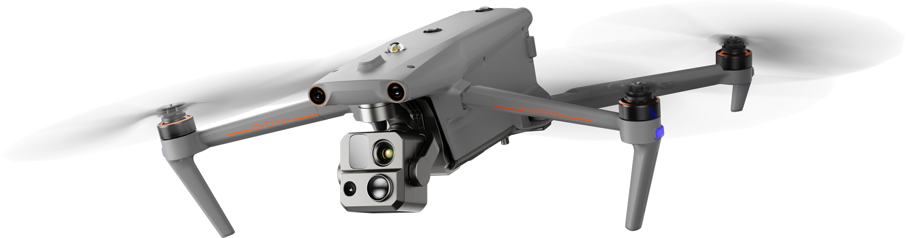
Strong Anti-Interference
The EVO Max 4T can communicate seamlessly with other drones in the vicinity, unlike a traditional chain structure. If a single drone fails or exits unexpectedly, the entire system will independently self-organize and continue to relay critical information.

Beyond-Line-of-Sight Applications
With A-Mesh, multiple aircrafts in the vicinity can act as relay points to greatly improve BVLOS operation effectiveness.

Full-Fleet Control
Multiple drones can be controlled autonomously by 1 pilot or by a group of pilots simultaneously with or without LTE coverage.

Enhanced Range
Communication nodes can be placed statically on hills or poles to provide full coverage to an area, or a swarm of drones can provide mobile communication points to extend the coverage of the entire group.
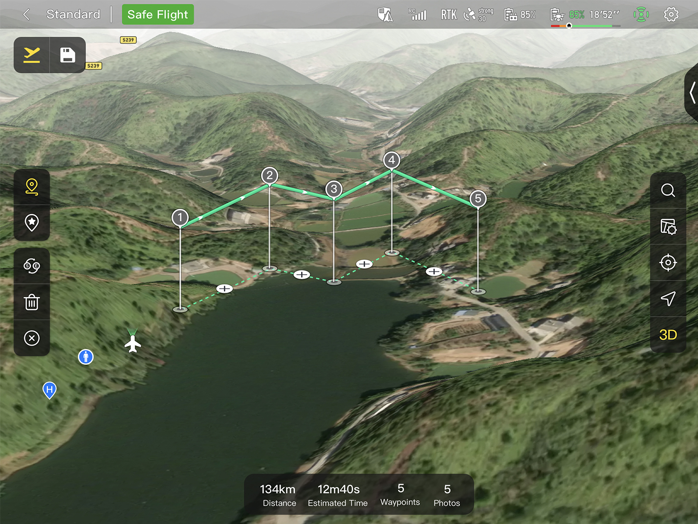
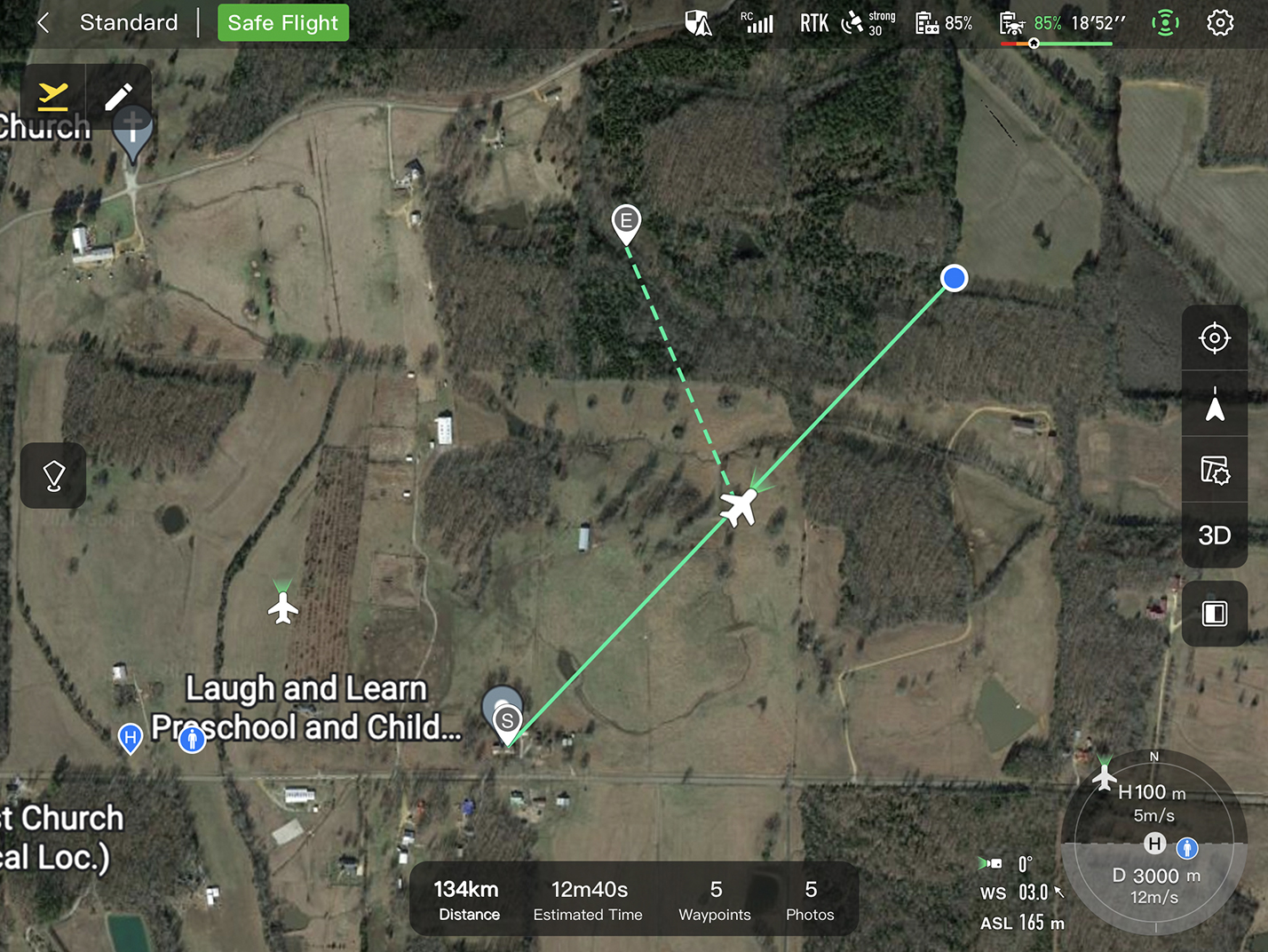
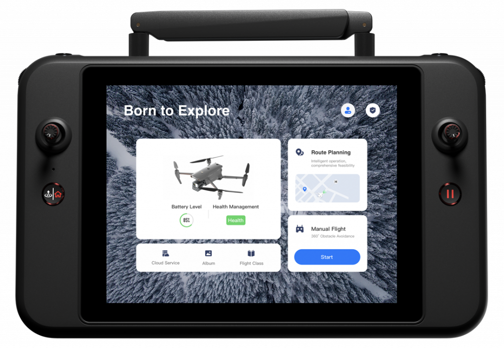
3D Map Planning
Quick Mission*
Mission Reproduction*
3D Map Planning
Plan, create, and execute 3D waypoint mission plan on a 3D map.
Quick Mission*
Temporary quick missions can be created while executing other missions, and multiple sub-missions can be stacked for enhanced flexibility.
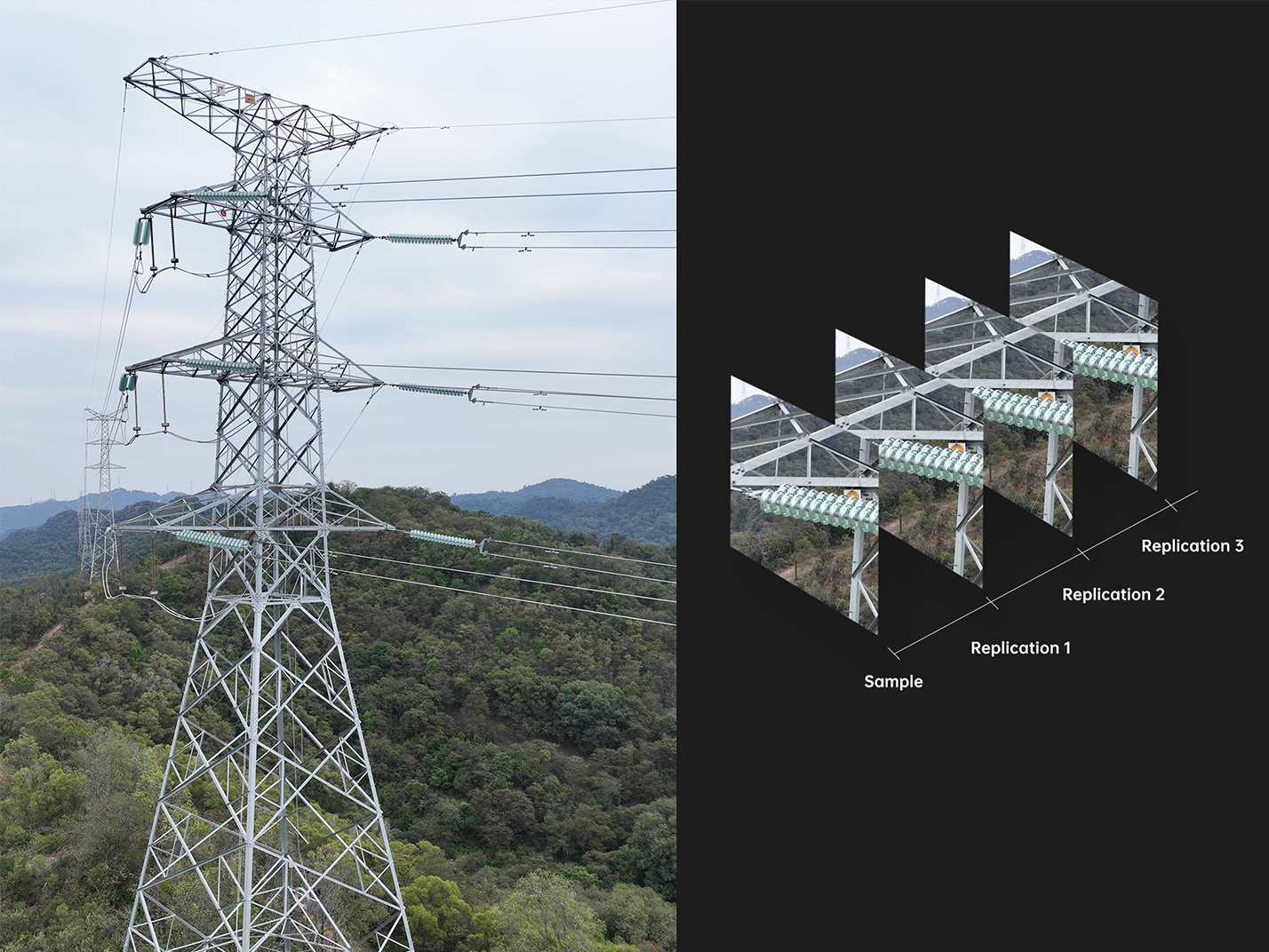
Mission Reproduction*
With this feature activated, fly a manual or semi-autonomous mission, or string multiple missions together. The EVO Max4T will automatically record the camera angles and replicate the mission you just flew.

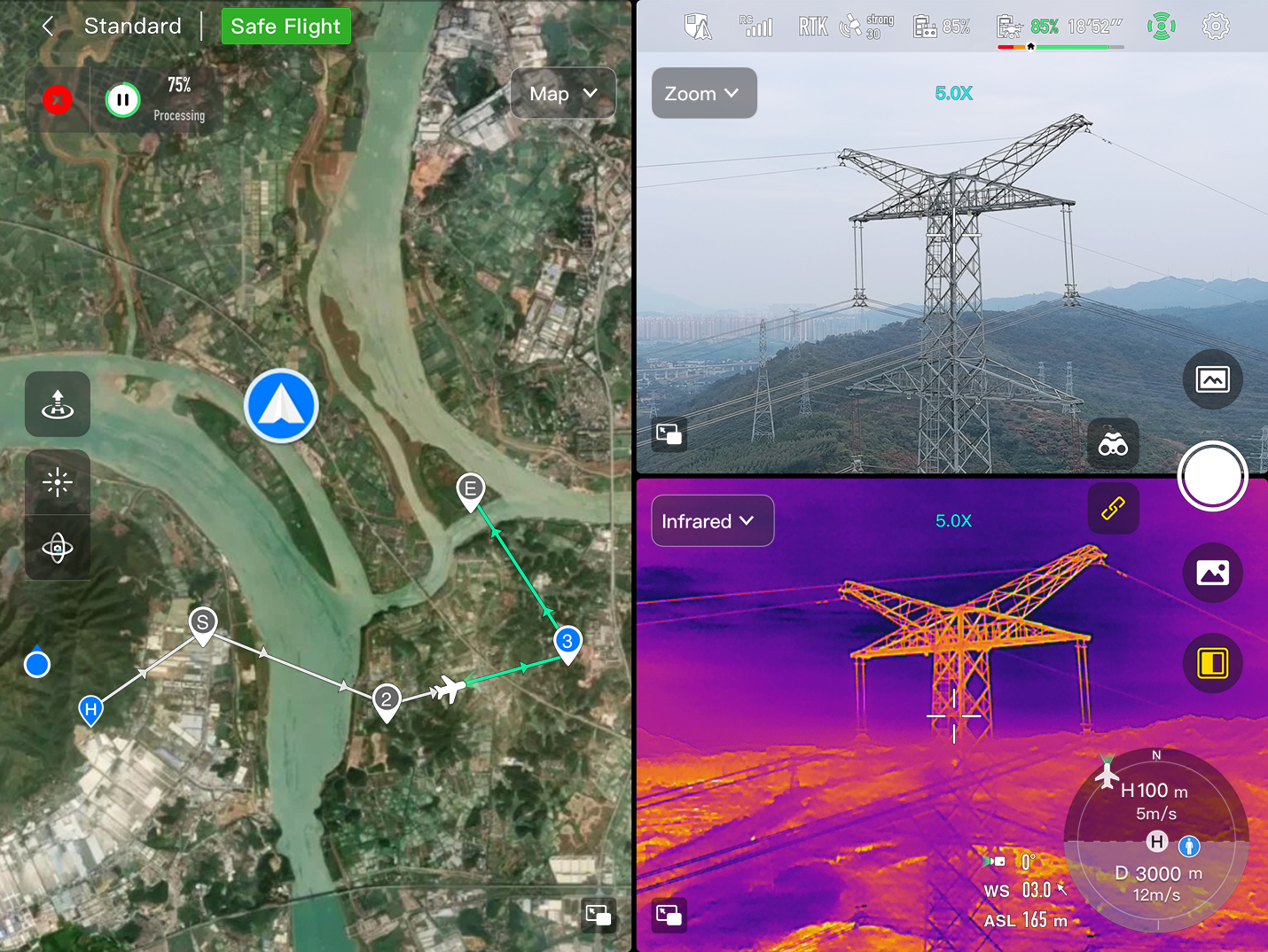
Multi-channel Projection Screen*
AR Scene*
Multi-channel Projection Screen*
Supports simultaneous output of RGB, infrared, night vision, and wide-angle images.
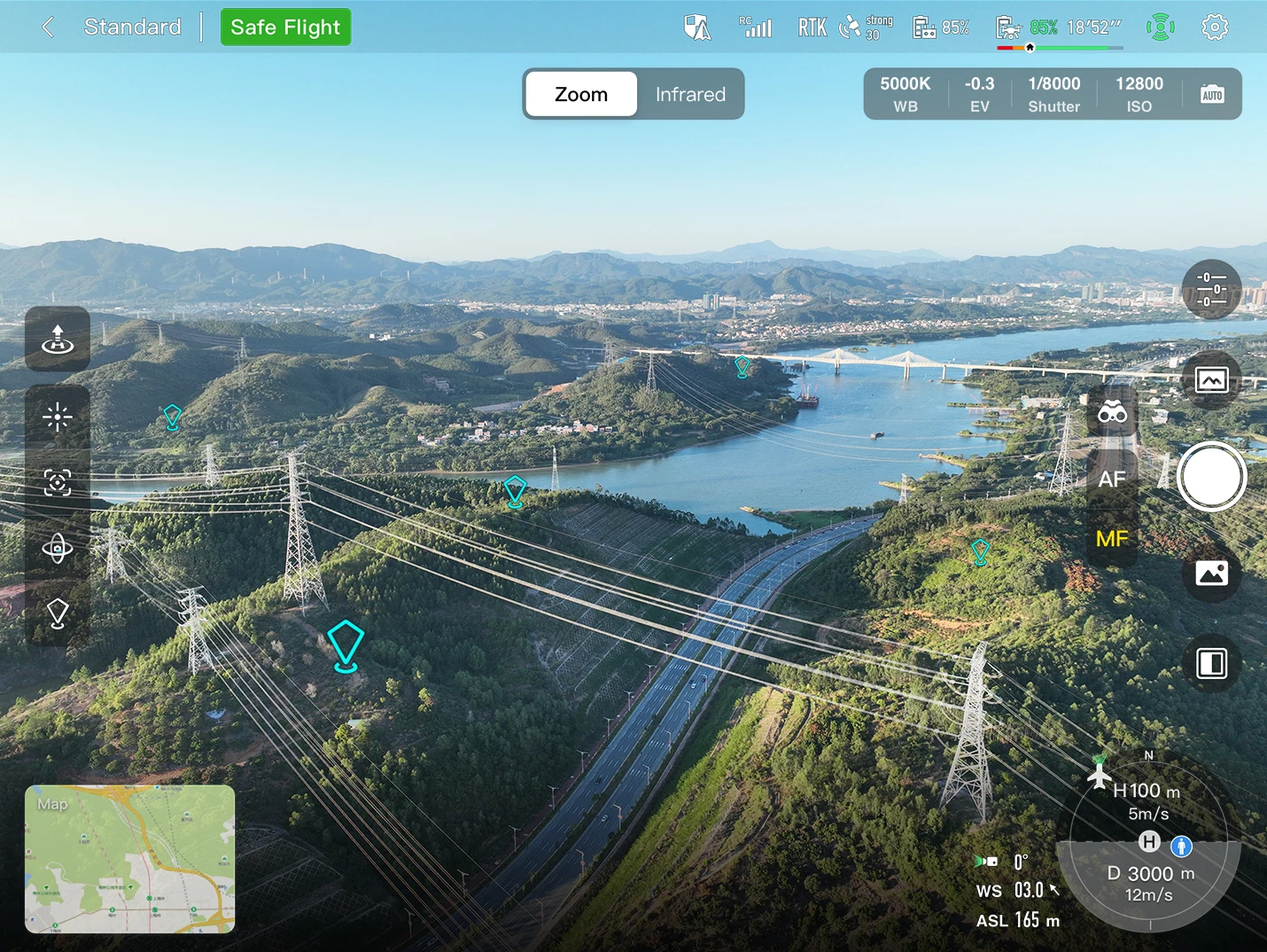
AR Scene*
Geo-location data and other aircraft location info detected by ADS-B can overlay on real-time map, which is convenient for users to confirm the drone’s location and avoid airborne risks.

Mobile SDK
Open UX SDK (iOS&Android) can directly call up the ready-made interactive interface.

Payload SDK*
Unified interface standards support access to third-party mounts such as microphones and gas detectors.

Cloud SDK*
Enables remote live broadcast and control of drones and Nests through third-party platforms or web pages.
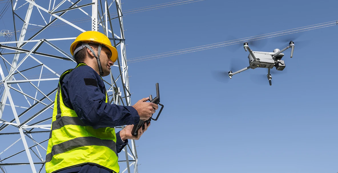
Inspection
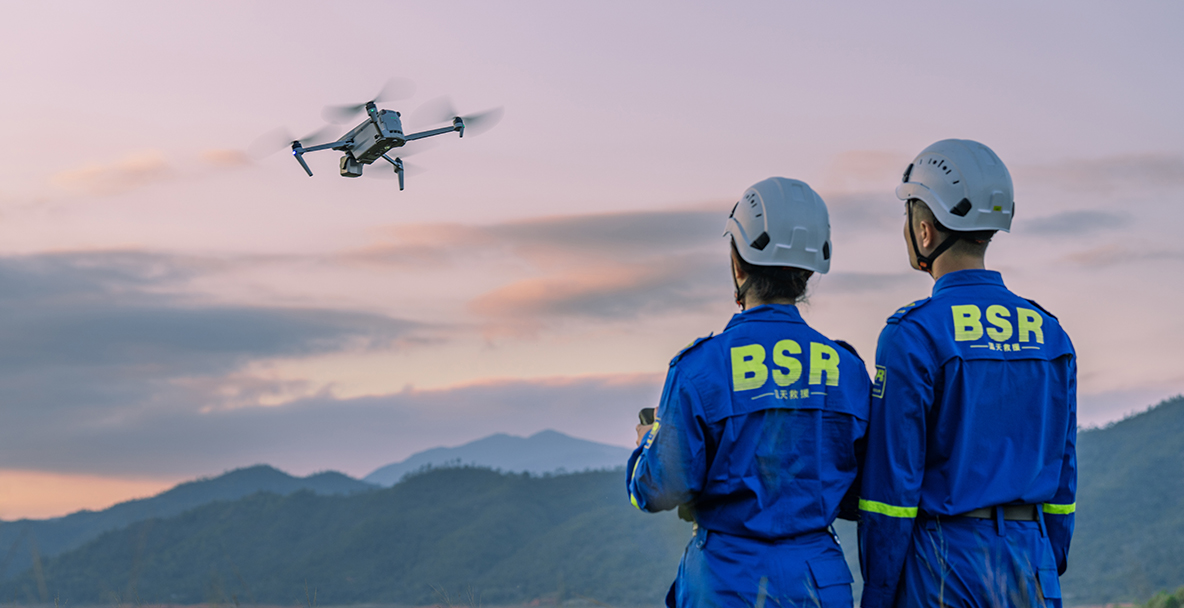
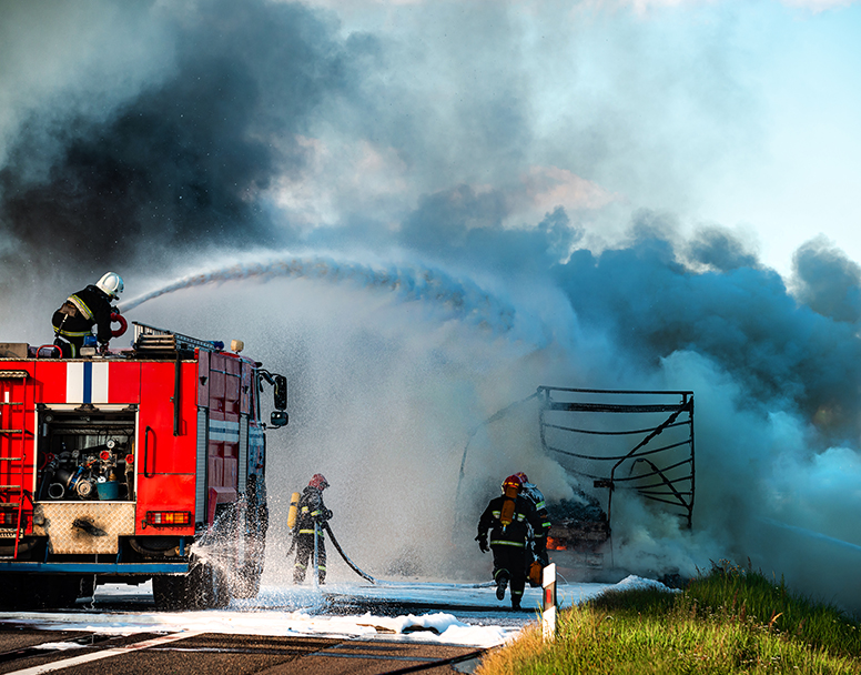
Search & Rescue
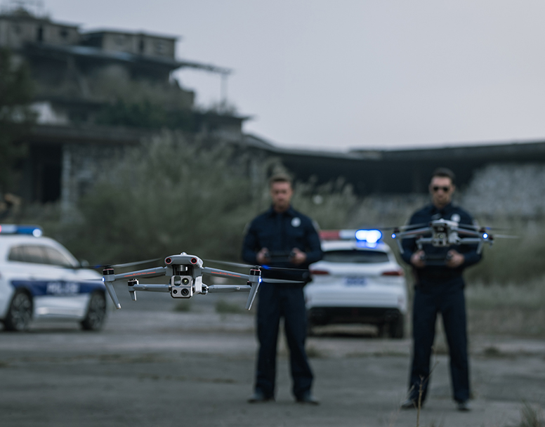
Public Safety
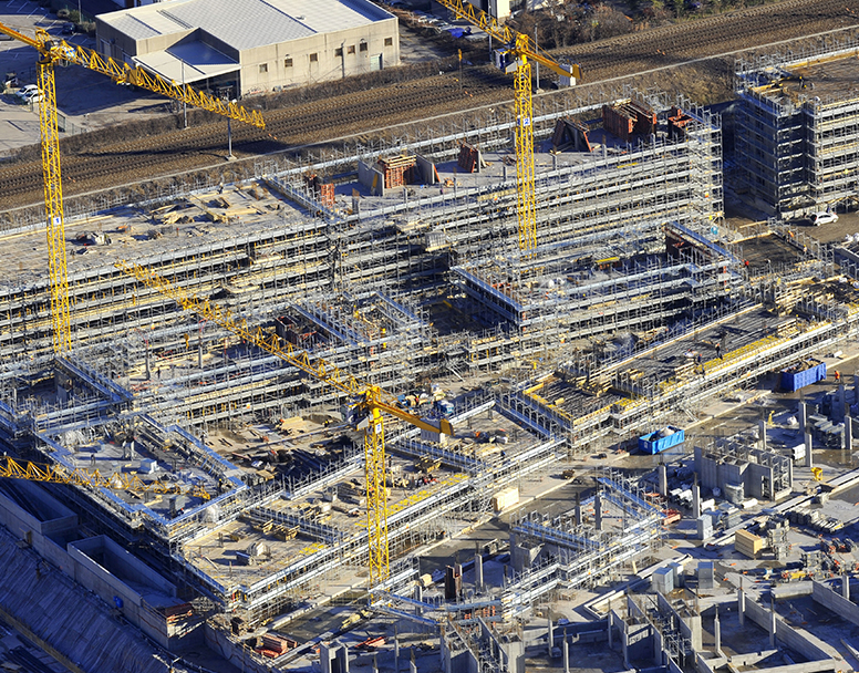
Mapping